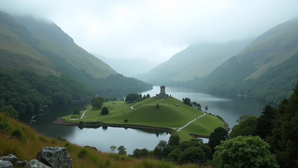
Walking the Burren: Unique Geology and Paths
The Burren's limestone landscape is unlike anywhere else in Ireland. We'll walk you through what makes it special, the best routes for beginners, and why this rocky terrain is worth every step.
What Makes the Burren Different
You won't find another landscape like it. The Burren covers about 260 square kilometers of County Clare and spreads into Galway, and it's basically one enormous limestone pavement. There's no topsoil, no forests covering the bedrock — you're literally walking on geology.
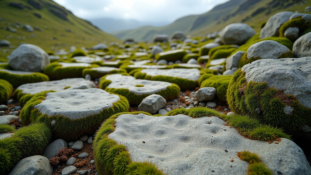
The rocks themselves tell the story. These limestone pavements, called karst landscape, formed over 300 million years ago when the Burren was under a tropical sea. Seashells and coral piled up, compressed, and eventually became the hard grey stone you'll see everywhere. Then glaciers came through, carved cracks into it, and created these distinctive patterns called grikes and clints.
The Numbers
- 260 km² of limestone plateau
- 350+ species of plants (some rare)
- 30+ walking routes for all levels
- 200+ archaeological sites
Getting Around the Limestone
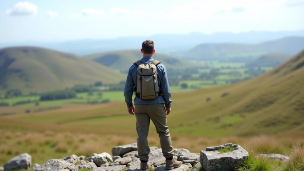
Walking the Burren isn't like hiking through forests or up mountains. You're crossing open ground with minimal shelter, so weather matters more than it might elsewhere. Wind picks up quickly, fog rolls in suddenly, and you'll want proper footwear because those limestone edges are sharp.
The grikes — those deep cracks in the limestone — can be ankle-snappers if you're not careful. Most beginner routes avoid the roughest sections and stick to established paths. That said, there's something special about walking on stone that's been sculpted by time and weather. It's raw, honest landscape.
Footwear Matters
Proper hiking boots with ankle support and aggressive tread aren't optional here. The limestone is slick when wet and unforgiving on loose rocks. Wear them on shorter routes first to break them in properly.
Best Beginner Routes
The Burren Walks network has marked several routes that work well for people starting out. Most beginners should aim for 5-8 kilometers as a comfortable distance — that's roughly 2-3 hours depending on terrain and breaks.
Mullaghmore Loop
7 km, 2.5 hours. Starts from Fanore village, passes through gentle limestone slopes with views across Galway Bay. It's mostly established paths with minimal technical difficulty. You'll see cairns marking the way and plenty of open views.
Doolin Cave Loop
5 km, 2 hours. This one's good for understanding the Burren's cave systems. You can combine it with visiting Doolin Cave itself (there's a small entrance fee if you want to go underground). The walk stays on clear paths around the cave area.
Poulnabrone Dolmen Walk
6 km, 2 hours. Built around the famous 6,000-year-old dolmen. You'll cross open limestone with the ancient stone structure as a landmark. Views are excellent and the route is well-marked. There's a car park right at the dolmen if you want to start there.
Flora and Hidden Life
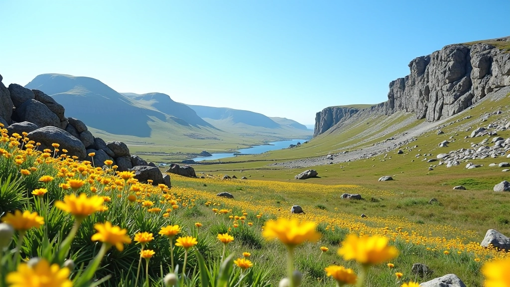
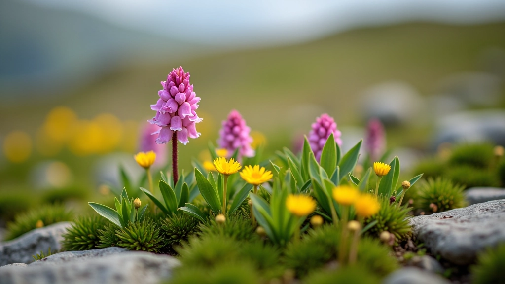
Walking through what looks like bare rock, you'll notice plants you won't see elsewhere in Ireland. The Burren's unique microclimate — the limestone absorbs and releases heat, creating warmer pockets — lets Mediterranean and alpine plants grow side by side. In spring (April through June), it's genuinely spectacular.
You'll spot wild orchids, bloody cranesbill with its bright pink flowers, and dense mats of thyme. The grykes themselves are like gardens — because they hold moisture and soil, they're where the real plant diversity happens. It's one reason the Burren is protected as an EU Special Area of Conservation.
Don't pick anything. These plants are adapted to this specific landscape and there's not much margin for error. Photography's the way to appreciate them.
The Archaeological Layer
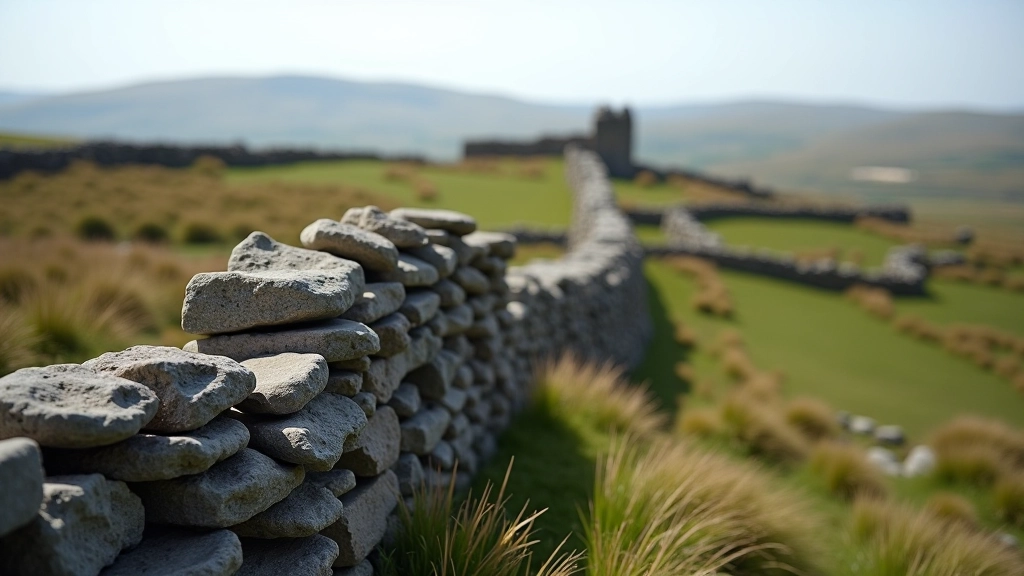
The Burren isn't just geology. It's archaeology layered on top. There are over 200 archaeological sites across the area — megalithic tombs, ring forts, ancient churches, and monastic sites. Some date back 6,000 years. You'll walk past them almost without noticing because they're built from the same stone as the landscape itself.
Poulnabrone Dolmen is the most famous, but there's Caherconnell Fort (you can actually walk through it), Gleninsheen Wedge Tomb, and dozens of smaller sites. The Burren's Archaeology and Tourism Project has marked many of them, so you're not just walking through landscape — you're walking through history.
Practical Information for Your Visit
When to Go
Spring (April-May) is peak wildflower season and weather's generally more stable. Summer works but gets busier. Autumn is less crowded with good views. Winter's possible but weather turns unpredictable quickly — wind, rain, and poor visibility aren't uncommon.
What to Bring
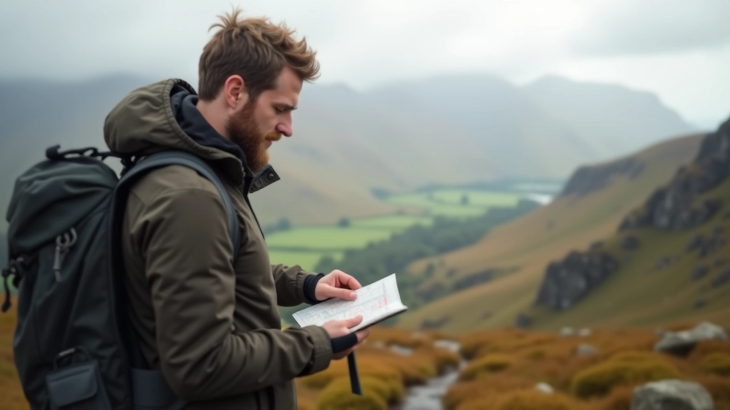
Proper hiking boots, waterproof jacket, hat and gloves (it's windier than you think), sun protection, and at least 2 liters of water. There's minimal shelter and few places to refill water. A map and compass or GPS app helps since signage can be sparse on some routes.
Navigation
Most marked routes are clear, but the Burren can feel exposed and disorienting in poor visibility. Download offline maps before you go. Smartphone GPS works fine, but battery drains quickly in cold weather. Paper maps are reliable backup and don't need batteries.
Getting There
The Burren is in County Clare, accessible from Galway or Limerick. Doolin village and Fanore are good bases. Car access is easiest — public transport exists but it's limited. Most walking route starting points have car parks, though they fill quickly on weekends.
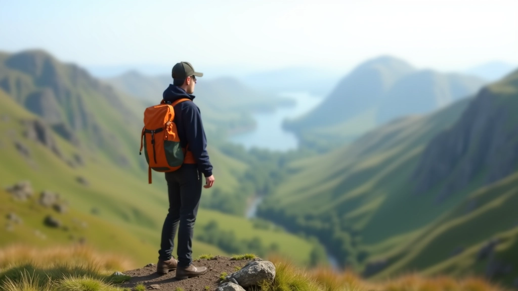
Why the Burren Is Worth It
Walking the Burren isn't just a hike. You're moving through landscape that looks like nowhere else in Ireland — raw, sculpted by time, and honest about what nature is. The geology tells a story that spans 300 million years. The plants have adapted to conditions found nowhere else. The archaeology reminds you that humans have walked these same stones for millennia.
Beginner routes exist here because you don't need to be experienced to appreciate what the Burren offers. Start with one of the established loops, wear proper footwear, check the weather, and give yourself time to notice details — the patterns in the stone, the rare flowers, the views that stretch across Galway Bay.
The Burren demands respect but rewards curiosity. It's one of Ireland's most distinctive landscapes, and it's accessible to anyone willing to prepare properly and move at a comfortable pace.
Disclaimer
This article provides educational information about walking routes and geological features in the Burren. Conditions change seasonally and weather can be unpredictable on Irish hills. Always check current weather forecasts, carry appropriate maps, and consider hiring a local guide if you're unfamiliar with the terrain. Neither the author nor this website is responsible for accidents, injuries, or other incidents that occur while walking these routes. Hill walking carries inherent risks — take responsibility for your own safety and make decisions based on your experience level and physical fitness.
More Beginner Hiking Guides